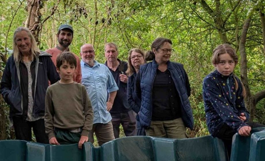
On the second of May 2026 several members of Wyre Archaeology and staff members from the school gathered to pinpoint the Roman road going through Garstang. Using LIDAR the most probable course of the road seemed to go across the school playing fields.
Trench 1, the furthest west, after going through the top soil, revealed compact yellow clay soil with a few
small stones and small finds of late pottery.
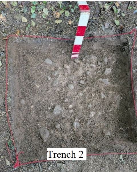
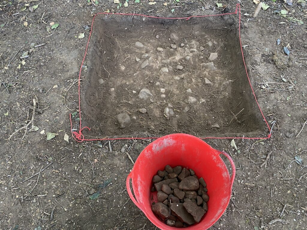
Trench 2 revealed the same sort of soil but with a larger number of small river cobbles set on the surface of the clay soil beneath. This was the most convincing area for the road’s existence and it was therefore extended to the east and west. The cobbles continued in both directions.
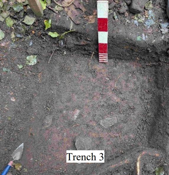
Trench 3 was half way between T1 and T2 in terms of the density of cobbles found.
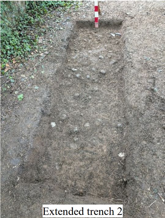
Another view of trench 2 is shown below. The stones in the bucket were gathered from the surface above the hard layer of stones.
A full report will appear at the next meeting.