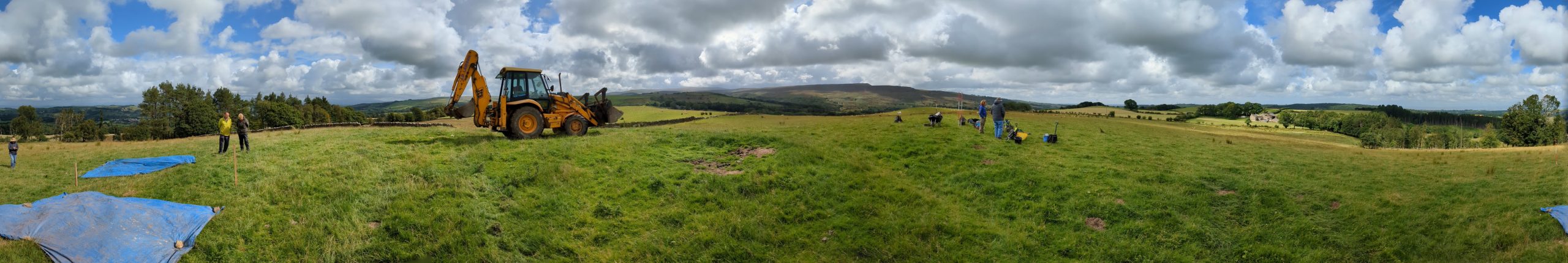
This dig took place on the 26th July, 2024. A couple of days earlier a small team marked out the positions of the four potential dig positions to allow for a prompt start.
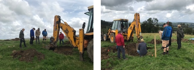
With the site being so large we recruited the assistance of the farmer (and his digger).
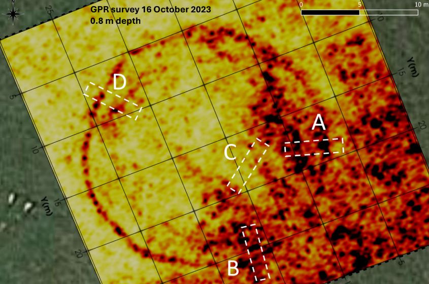
A decision was made to uncover trench D first. The GPR implies that this should be the simplest trench and yet the circular feature should still be uncovered.
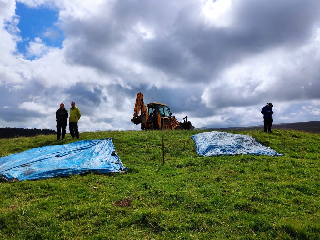
Picture of unopened trench D. Tarps prepared, one for the excavated soil, the other for any riddling soil. The farmer simplified the procedure by offering to put the soil onto the grass and then putting it back into the trench at the end of the dig. This made the diggers very happy – no more back-filling of trenches.
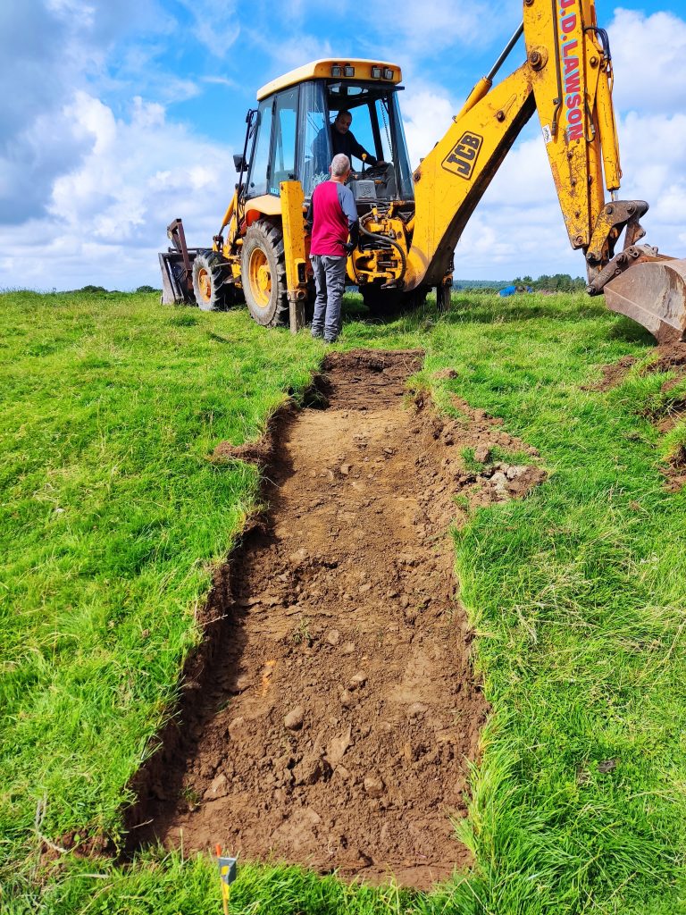
About 2/3rds the way up the trench the soil structure altered – as you can see in the image. Trowelling now required.
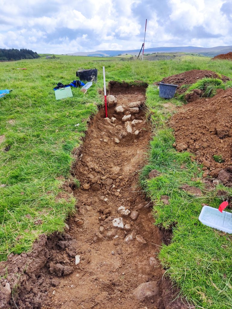
Toward the top of the trench appeared a substantial revetment. Closer to the photographer another groupings of stones appeared. Was this a secondary embankment or just spoil from the revetment. Needless to say, this caused much heated discussion.
In the meantime, trench A and B were opened. All showed very similar structures.
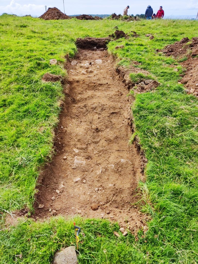
Trench A had a similar arrangement of stones so the northern end of the trench was excavated to more than 1m to check if the circular feature was to be found deeper down.
A new trench was added half way between D and B in order to finally determine the structure. Who would win, the archaeologist or the geophysicist? In the end an honourable draw was announced – neither had proved their point. The geophysicist prediction for stone at the bottom of the trench only produce few stones with no “cut”. The archaeologist prediction for the revetment again produced little evidence. Where we in the correct place?
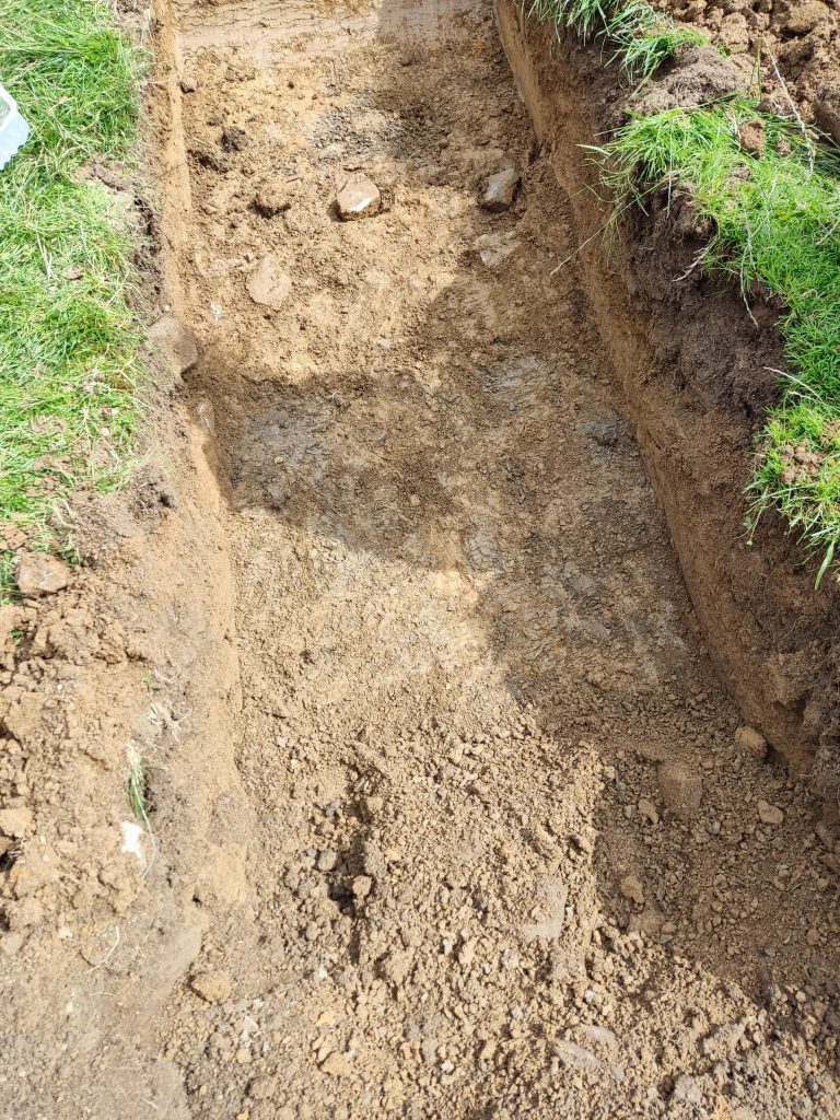
Back to trench D the NW end was trowelled down only to discover a shale layer. Could this account for the EMI result in that area?
Various suggestions about the feature were suggested; henge, barrow, burial mound? If it was a burial mound it would have, more than likely, have some form of deposit in the centre of the mound. A 2x2m trench was opened up to reveal – clay. Unfortunately this neither proves nor disproves the burial mound idea.
The diggers were Andy J, Simon, Jenny H, Sian, Chris, Dave, Helen, Mike and Phil. Andy B came along in the afternoon to check if we were digging in the right place!
At the end of a long day a video of the group wending its way down the hill was produced.
At the next meeting we will discuss the findings.
Post-dig comments
Various members contacted the blogmeister with their suggestions about what we have found. There was definitely an revetment holding back the soil. In a couple of trenches their appeared a secondary deposit of stone. Was this debris from the revetment or, as some hypothesised, bounded a small trench. By open the large trench on the top and nothing discovered this would seem to discount a barrow – but not all barrows have the inhumation in the centre. There was nothing to stop the feature starting as one thing and then being reused as another.
It is hoped that we could return to the site in the near future. Concentrating on the top of the feature.